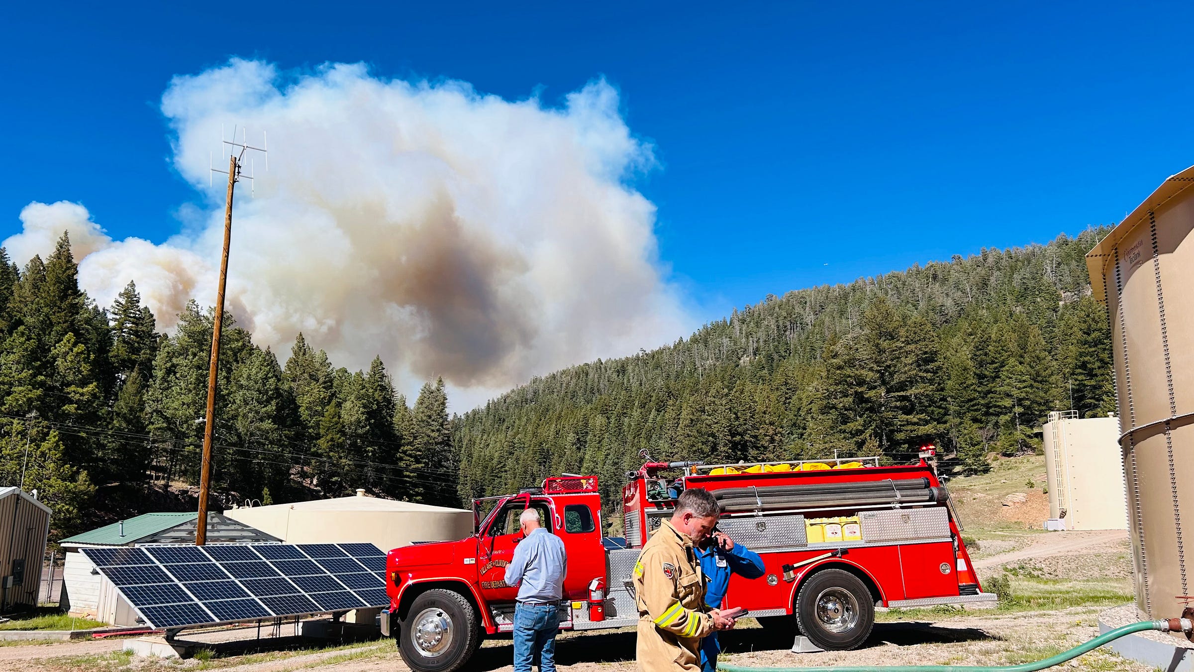
Cloudcroft's Fire Chief Shares Village Emergency Alert Plan
As the South Fork and Salt Fires burn to our North, and thousands of people remain evacuated, Fire and EMS Chief Wuersching reminds Cloudcroft Village of our emergency protocols.
The South Fork and Salt Fires in the Ruidoso and Mescalero area are still burning, and currently listed at a combined 23,000 acres.
Download the Watch Duty app for timely updates.
Yesterday, Cloudcroft Reader asked village administrators to share their emergency plan.
The Village of Cloudcroft, about 35 miles south of Ruidoso, remains under Level Four fire restrictions. The entire mountain suffers drought conditions.
Several weeks ago, the Moser Fire caused mandatory evacuations for several areas east of Cloudcroft.
Our Fire/EMS Chief Erich Wuersching responded with a concise large-scale emergency plan, and says the following:
“Recent events have understandably caused many of our newer citizens to inquire about how they will receive information related to a large scale emergency.
Large scale emergencies are those that will impact a large swath of the population or a significant portion of the geographical area. Over the past several decades, the Village of Cloudcroft has developed a comprehensive strategy for alerting the population of an emergency within, and immediately surrounding, our boundaries.
The group of specialized personnel within the Cloudcroft Fire Department responsible for emergency planning is our Emergency Management team. This group has developed Emergency Operations Plans, Mitigation Plans, Communication Plans, etc , as well as coordinating with surrounding agency’s/entities/businesses, etc. for comprehensive Response Plans.
These plans are reviewed, updated and exercised periodically.
Included within these plans are the notification and alerting mechanisms for Cloudcroft.”
The notification plans include:
Emergency Alert Sirens: “Very loud audible sirens (sometimes referred to as air-raid or tornado sirens) are located throughout the Village and are only sounded for evacuation purposes. These sirens are useful while outside your home or business but may be difficult to hear indoors.”
Cellular Phone Alerts: “A federal alerting system called IPAWS can be used to alert all cell phones within a geo-fenced boundary, created for the specific emergency. We currently activate this tool through the State of New Mexico Emergency Operations Center.” You can access this service through the FEMA website.
Reverse 911: “Otero County has a robo-call feature which has the capability of calling all phone numbers which have been registered through the Otero County database. We activate this tool through the Tularosa Basin Regional Dispatch Authority.” You can register here.
Radio Messaging: “Our local Emergency Alert System radio frequency is 97.9 FM. When an emergency occurs which requires disseminating information in mass form, we use this radio station which is available locally and also on the internet.”
Social Media: ”The Cloudcroft Fire Department Facebook page will provide updates to local emergency’s and procedures to follow (as needed).
Website: “The Cloudcroft Fire Department will post such things as burn permits, fire restrictions, and other longer term informational items on our website.”
Evacuation Location: “Emergencies are dynamic and we can’t predict where or how we will evacuate, but in a general sense, the location will most likely be to our East along US Hwy 82, in the Mayhill area or Artesia. From there, you may be routed back to Ruidoso or Alamogordo.”
Chief Wuersching also shares that, “In addition to the regular testing, updates and enhancements made to the existing systems, the Cloudcroft Fire Department-Emergency Management team is in the process of implementing additional notification tools [through App Armor.]
We are excited about these new capabilities and plan to debut them later this year.”
We will continue to report on the South Fork and Salt Fires, which affect Otero and Lincoln County.
You can read our Wednesday morning report, here.


