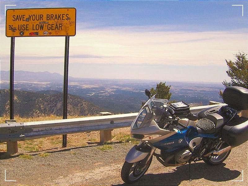
Ride With the Wind in Your Face
Cruise the Mountain Heights on Scenic Motorcycle Routes near Cloudcroft
Nestled nearly 9,000 feet high in New Mexico’s Sacramento Mountains lies the friendly mountain village of Cloudcroft, an idyllic destination for motorcyclists craving curving roads minus the crowds. The surrounding Lincoln National Forest tempts two-wheel adventure seekers with hundreds of miles of scenic forest roads and trails perfect for a mountain getaway.
Route options cater to all riders – from relaxing cruises taking in majestic lookouts to technical single-track trails demanding skill. District motor vehicle use maps provide a detailed overview of routes across the Lincoln Forest. Popular motorcycle sites like SoutheastRider.com offer firsthand user reviews on must-try tracks.
The Old Cloudcroft Highway Trail delights riders with its striking diversity along a wide gravel road. It winds past the Mexican Canyon rock formations, crosses flower-filled meadows along Fresnel Creek, and opens to panoramic vistas from Toboggan mesa. Bikers call it the perfect intro to the Lincoln Forest’s landscapes.
For those seeking more technical challenges, the Old Sunspot Highway Trail (T5009) ascends over 1,200 feet in a matter of miles. The single-track path slaloms around tight switchbacks, crosses broken-rock streambeds, and negotiates steep grades through the pine forest. Views open up briefly onto the Tularosa Basin. Riders warn its narrow width and loose surface leave no room for error.
The premier long-distance ride in the region follows the New Mexico Backcountry Discovery Route (NMBDR), an expert dual-sport trail from Dell City, TX, covering 700 miles en route to the Gila Mountains. The leg passing through the Lincoln Forest offers spectacular views riding the Guadalupe Ridge overlooking the salt flat basins nearly a vertical mile below. Riders recommend stopping to enjoy Lincoln’s hot springs and lakeside camping along this remote fort country segment.
Closer to town, the 147 km (91 miles) Cloudcroft Easy Big Bike Route loops from the village through the old railroad towns of High Rolls, La Luz, and Fresnel. Linked forest roads gently rise and fall over 7,000 feet in elevation, offering relaxing cruising amid diverse mountain scenery. Just watch for occasional cattle grazing the roadside!
Lastly, expert riders clamor about the Rim Trail (T105), 31+ miles of technical single-track starting just south of Cloudcroft. This demanding route is challenged with loose gravel, nasty water bars, and steep drop-offs as it follows the ridge 9,000 feet above the Rio Penasco canyon. The outstanding views prove well-earned rewards from knobby tires and riders’ skill over several hours.
Whichever mountain route resonates for your next ride near Cloudcroft, check the weather and carry supplies for the remote high country. Then gear up to soak up those sweeping landscapes only accessible from motorcycle seats in New Mexico’s peaks.
Key Resources:
SoutheastRider.com New Mexico Rides: https://southeastriders.com/riding-destinations/new-mexico/
Lincoln National Forest Motor Vehicle Use Map: https://www.fs.usda.gov/detail/lincoln/maps-pubs/?cid=stelprdb5412060


